Event site layout plan template: map zones and routes
An event site plan should answer where people, equipment and services go—and how they move between them. Google results for this task are dominated by layout tools and templates; OnePlan, the leading how-to result, emphasizes plotting infrastructure on a map. This original grid and zone register give you a lightweight starting point when you do not need a full mapping platform. They are planning aids, not an approved capacity or emergency drawing.
Boletolibre editorial team
Published
Start with a measured base, not an imagined rectangle
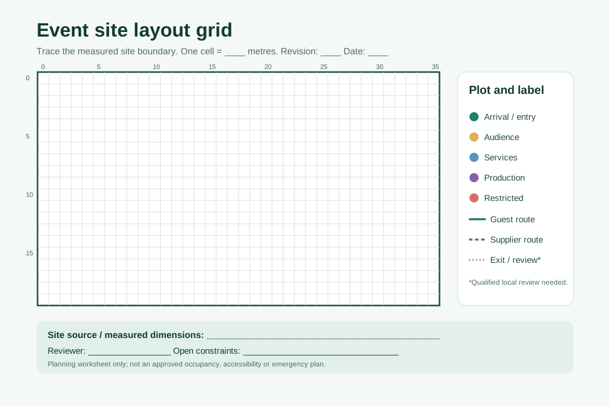
Ask the venue or landowner for a current, dimensioned plan and confirm it at the site visit. Mark boundaries, fixed walls, doors, pillars, slopes, services, restricted areas, vehicle access and known hazards before adding event objects. Record the source and date of every measurement. The SVG grid has 36 columns and 20 rows; set a cell size that fits your site, then draw the real boundary inside it. For example, a measured 18 m by 10 m rectangular area fills the grid at 0.5 m per cell. An irregular site needs its actual outline. Dover District Council advises working from a map, testing alternatives on paper, then preparing a shared electronic plan; the UK HSE likewise starts from site data and suitability.[2][3]
- Use a current measured site or floor plan, with north and scale if relevant.
- Trace the boundary and fixed obstacles before drawing temporary items.
- Write the cell scale and measurement source on the grid.
Place zones and objects on the editable grid
Use the downloadable SVG in a vector editor or print it and draw on it. Put arrival, ticket check-in, audience area, stage, toilets, water, first aid, technical control, catering, waste, storage and restricted areas on the plan only when the event needs them. Give every object an ID and add its dimensions, power/network need, owner and approval status to the companion CSV. Move blocks while the plan is still cheap to change. The sample colors are a legend, not a safety standard. OnePlan's mapping product illustrates the same underlying task—plotting infrastructure and importing existing plans—but this worksheet remains vendor-independent.[1]
- Allocate guest, service, production and restricted zones.
- Use IDs that match the CSV register.
- Reserve space for queues, access and servicing rather than filling every cell.
Trace journeys before the layout feels finished
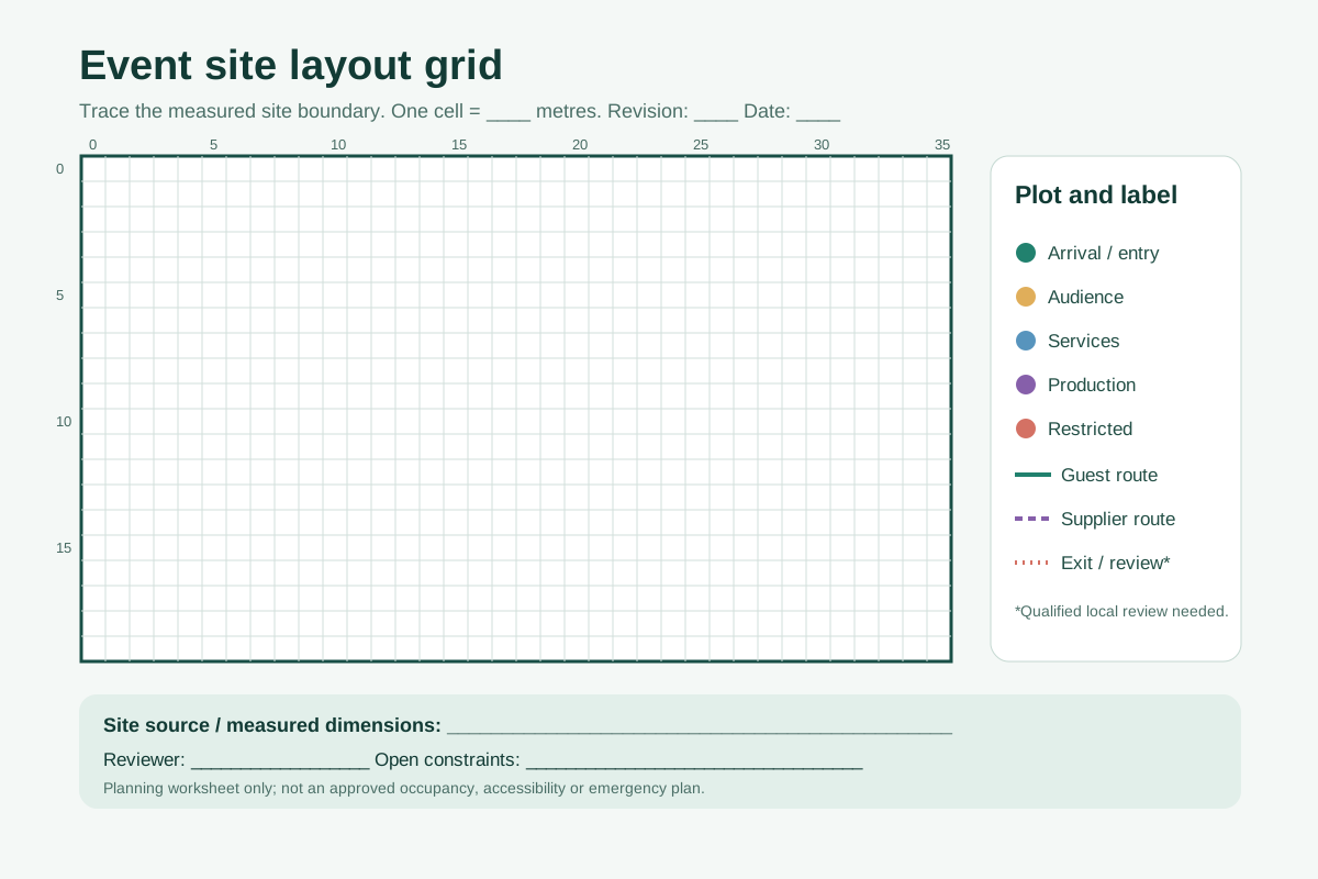
Draw the guest route from approach to entrance, queue, registration, key facilities and departure. Then draw step-free alternatives and supplier routes for build, live operations and strike. Look for crossings between guests and vehicles, queues that spill into circulation, and facilities that create a bottleneck. Test both peak arrival and peak departure rather than the quiet middle of the event. HSE identifies arrival, movement and departure as distinct crowd-management phases; put each on the drawing. Mark access and exit routes for qualified review instead of calculating permitted widths or capacities from this grid.
- Draw arrival, onsite circulation and departure separately.
- Mark step-free and supplier routes; identify crossings and pinch points.
- Check how layout changes during setup, live event and strike.
Review constraints with the right people
Walk the proposed drawing with venue management, production, accessibility and crowd-safety specialists as applicable. Verify placement against measured dimensions, available power and water, infrastructure restrictions, ground or floor loading, weather exposure and the approved use of each space. Ask who owns changes and which authority must approve temporary structures, traffic plans, egress and occupancy for the jurisdiction. HSE says referenced site plans should show facilities, temporary structures, fencing, entrances and exits and be updated as information changes. A mock grid cannot establish legal compliance or a safe capacity.[2]
- Confirm actual capacities and egress with qualified local parties.
- Get venue and relevant authority approval where required.
- Record constraints and unresolved evidence in the register.
Issue one controlled plan version
Number the plan version and date; identify who prepared and reviewed it. In the zone register, track open questions and the source of approval for each critical placement. Share the same current version with suppliers and staff, and give changes a clear owner. Keep the detailed production or emergency drawings linked rather than cramming all functions into one public map. Rewalk the site after material changes and issue an updated plan before build begins. A guest-facing map can omit restricted operational details but must stay consistent with the approved working plan.
- Keep revision number, owner and review date on every plan.
- Distribute one current working version.
- Update when the venue, audience or infrastructure changes.
Sources and further reading
- Event site planning made easyOnePlan · Accessed
- Venue and site designUK Health and Safety Executive · Accessed
- Event Planning: Site PlanDover District Council · Accessed